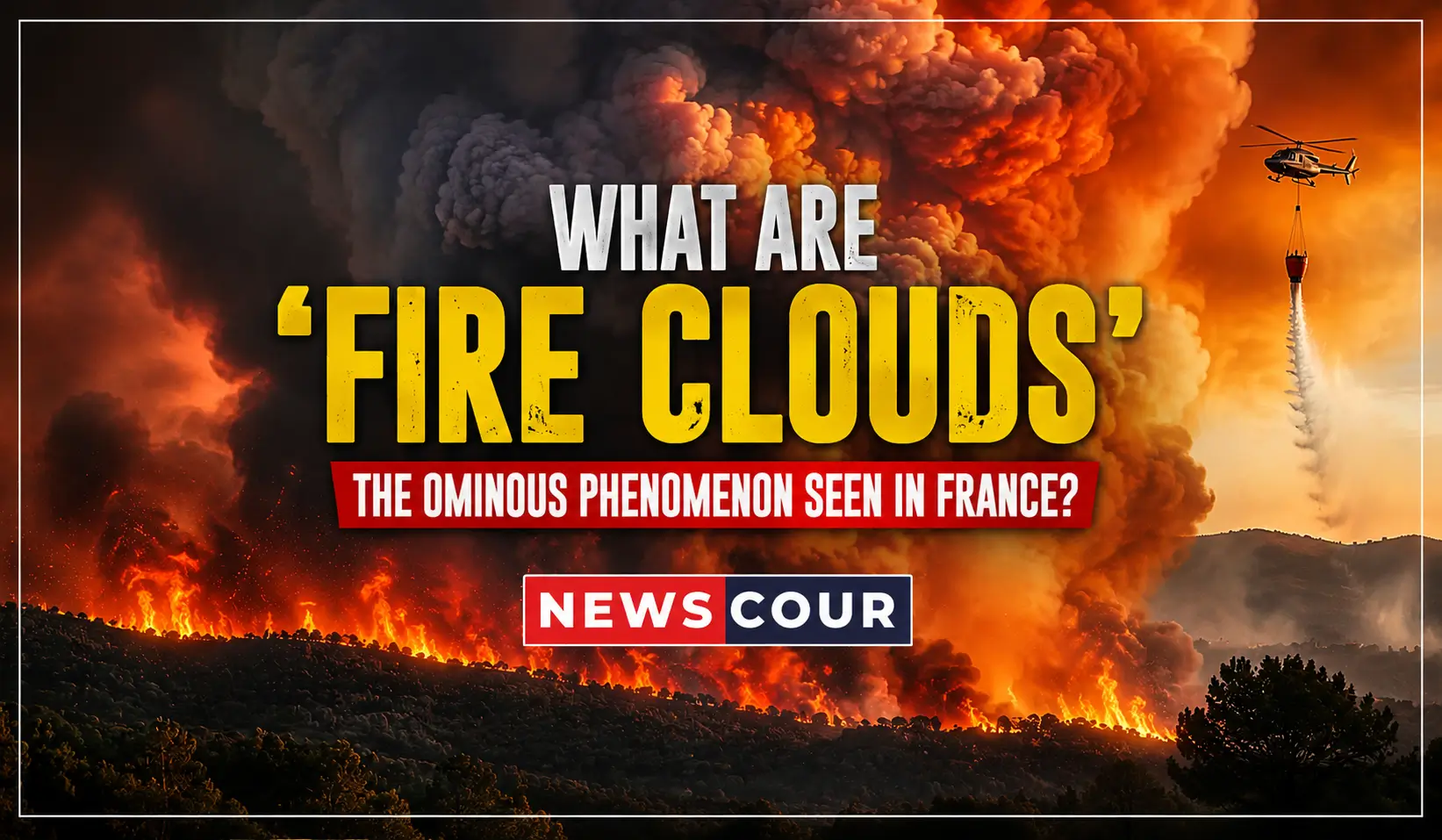
Fire clouds have appeared over France for the first time on record, towering thunderstorm-like formations born directly out of the wildfires tearing through the country’s southwest. Scientists call them pyrocumulonimbus clouds, and firefighters say they’re changing the way these blazes behave.
The phenomenon has stunned even veteran French fire crews. What used to be a rare sight limited to Australia, Canada and the western United States is now hanging over Bordeaux’s wine country, and researchers say it’s a warning sign of what’s ahead.
What Are Fire Clouds, Exactly?
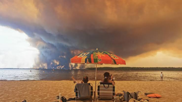
Fire clouds, or pyrocumulonimbus, are towering storm systems generated entirely by the heat of a wildfire rather than normal weather patterns. They form when a fire’s heat column punches high enough into the atmosphere to create its own cloud.
Meteorologists sometimes shorten the term to “pyroCb.” NASA has described the formation as the fire-breathing dragon of clouds, because it behaves like a living system that feeds off the blaze underneath it and can grow large enough to generate lightning.
Where Fire Clouds Have Formed Across France
France has now recorded pyrocumulonimbus activity at multiple wildfire sites in a matter of weeks. One formed over the Fontainebleau forest, roughly 60 kilometers south of Paris, in mid-July.
READ MORE: Europe Wildfires Evacuations Top 320000 in France and Spain
The most alarming formations followed the Gironde wildfire near Bordeaux, where clouds were spotted near Lège-Cap-Ferret, Le Porge and Lacanau. Fire officials confirmed the storms developed into self-feeding firestorms on several occasions, most recently overnight into Sunday.
- Fontainebleau forest fire cloud — observed July 13, 2026
- Lège-Cap-Ferret fire cloud — observed July 23, 2026
- Lacanau fire cloud — observed July 25, 2026
- Gironde firestorm event — generated ground-strike lightning, late July 2026
How a Fire Cloud Forms — Step by Step
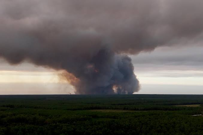
Wildfire researcher Jean-Baptiste Filippi explained that the process starts small: a modest white cumulus cloud forms as water vapor rising off the fire condenses. As the ground keeps heating, that cloud swells rapidly.
Eventually the column stretches into an anvil-shaped cumulonimbus, pulling in updrafts that can exceed 150 kilometers per hour. Rain forms inside the cloud but often evaporates before reaching the ground, leaving the storm dry and volatile.
Why Fire Clouds Make Wildfires More Dangerous
Fire captain Nicolas Braz told AFP the formations turn a fire “erratic and unmanageable,” a description now echoed across France’s emergency services. The danger comes from two compounding effects working at once.
Gironde fire chief Marc Vermeulen summed up the experience bluntly, comparing the conditions to facing down a hurricane. Crews say standard containment tactics simply stop applying once a fire generates its own weather.
Self-Generated Lightning Sparks New Blazes
The dry lightning produced inside a fire cloud strikes the ground below and can ignite fresh fires well beyond the original perimeter. Officials confirmed this happened directly during the Gironde blaze this week.
That means firefighters aren’t just fighting one fire anymore — they’re racing to contain spot fires the storm itself creates, often faster than crews can physically reach them across scorched terrain.
Erratic Winds Create Unpredictable Fire Fronts
A pyroCb generates its own shifting winds rather than spreading in the cone-shaped pattern crews train for. That turns a single fire front into several unpredictable ones at once.
Authorities say this “convective fire” behavior means responders often cannot say with confidence which direction the blaze will move next, complicating both firefighting strategy and evacuation timing for nearby towns.
France’s Wildfire Crisis, By the Numbers
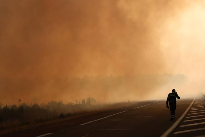
The scale of this summer’s fires helps explain why fire clouds are forming in the first place — bigger, hotter fires create the conditions pyroCb clouds need.
| Metric | Figure |
|---|---|
| Hectares burned in France (year to date) | 115,000+ |
| People evacuated, Gironde/Landes region | 220,000+ |
| Firefighters deployed to Gironde blaze | 1,400 |
| Hectares burned, Gironde fire (as of Sunday) | 42,000 |
| Total displaced, France and Spain combined | 250,000+ |
Interior Minister Laurent Nuñez said the year-to-date burn area is far beyond anything the country has previously recorded. President Emmanuel Macron ordered the military mobilized as the fire advanced toward Bordeaux’s outskirts.
Expert Reaction: A New Era of Fire
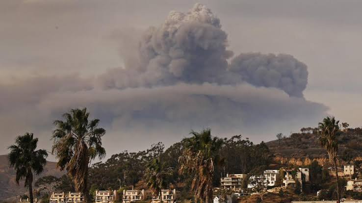
Researchers studying the blazes say the appearance of fire clouds over France isn’t an isolated curiosity — it fits a broader climate pattern already documented elsewhere.
Víctor Resco de Dios, a forestry engineering researcher at the University of Lleida, said fire behavior has entered territory that firefighting simply cannot extinguish once it starts, comparing the intensity to repeated explosive force. Filippi separately linked the pyroCb formations directly to human-driven climate change.
- Successive early and severe heat waves dried out forests months ahead of schedule
- The Royal Meteorological Society warns pyroCb events will likely become more frequent in Europe
- Spain’s Prime Minister Pedro Sánchez confirmed similar record fire totals across the border
How France Compares to Australia, Canada and the US
Pyrocumulonimbus clouds are well documented in wildfire-prone regions like Australia, Canada and the American West, where fire seasons are longer and drought conditions are more established.
Europe has seen pyrocumulus clouds before — including during UK heatwave fires in 2018, 2020 and 2022 — but a full pyroCb thunderstorm developing over a European wildfire had never been confirmed until this month in France.
What Happens Next
Gironde prefect Sophie Brocas warned that forecast heat returning this week could worsen conditions further, and evacuated residents won’t be allowed home until the fire is fully contained.
International support has already started arriving: Germany pledged helicopters, transport aircraft and rescue personnel, while France redirected personnel from the final stage of the Tour de France to reinforce firefighting crews on the ground.
Scientists tracking the fires say this likely won’t be the last time France sees a fire cloud form over its forests. As heat waves arrive earlier and burn longer each year, the conditions that create pyroCb storms are becoming less of an exception and more of a pattern.