
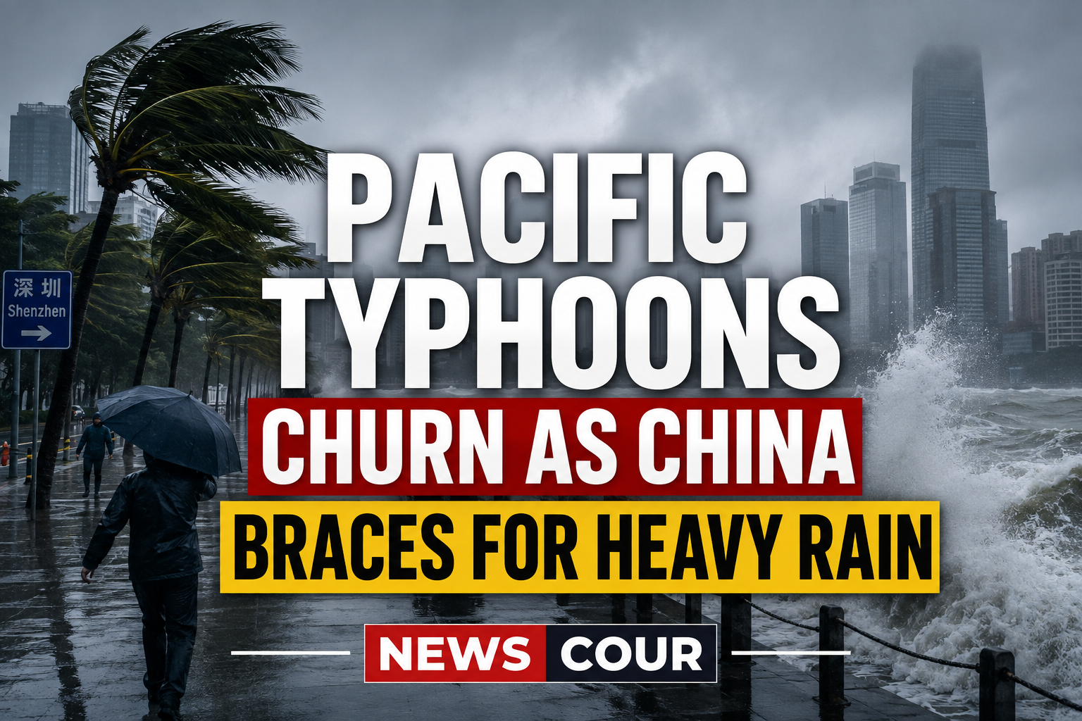
Multiple Pacific typhoons are churning over the western Pacific and the South China Sea at the same time, prompting China to brace for heavy rain and severe weather. Authorities have activated an emergency response for several southern regions as the storms approach.
The clustered Pacific typhoons are a reminder of how active the late-summer storm season can be. Here is what is forming, where it is headed, and how officials are preparing.
What the Pacific Typhoons Are Doing
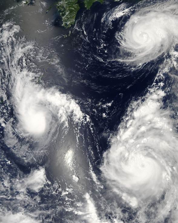
China’s meteorological service says several tropical systems are active at once over the western Pacific and the South China Sea. The clustering of storms is raising the risk of heavy rain across a wide stretch of coastline.
The Storms in Play
According to the China Meteorological Administration, the active systems include:
- Typhoon Gaenari, the 20th named storm of the year, which formed over the western Pacific.
- Typhoon Saudel, the 18th of the season, which could reach super typhoon strength.
- A tropical storm that brought strong winds and high waves to Hainan’s Sanya Bay.
- Heavy rain forecast from August 22 to 24 across southern and eastern China.
Forecasters said the heaviest downpours were expected in Guangxi, Hainan, Taiwan, Guangdong, Fujian and the Shandong Peninsula. The systems are moving on different tracks, complicating the outlook for the region.
How China Is Preparing for the Pacific Typhoons
The authorities have moved quickly to prepare southern provinces. National flood-control and emergency-management bodies activated a Level-IV emergency response for Hainan, Guangxi and Guangdong.
Officials urged regions to stay alert for secondary hazards, including flooding and geological risks such as landslides. Coastal areas were warned to expect the strongest winds and the heaviest rain over the coming days.
Such preparations are routine but important during peak season. The western Pacific is the most active tropical-cyclone basin in the world, and storms often form in quick succession in August and September.
Why the Season Is So Active
The clustering of storms reflects the seasonal rhythm of the region. Typhoons draw their energy from warm ocean waters, which are at their warmest in the late-summer months.
That warmth, combined with favorable atmospheric conditions, allows several systems to spin up at once. The Philippines, Taiwan, China, Japan and Vietnam all sit in the path of these storms during the season.
Careful monitoring gives communities time to prepare and evacuate when needed. Official forecasts and warnings for the region are issued by national meteorological agencies, with international coordination through the World Meteorological Organization, which supports tropical-cyclone forecasting.
Extreme weather is a recurring test for the region and the wider world. For related coverage of a weather-driven emergency, see our report on the Europe heat wave that uncovered WWII wrecks in the Danube.
For now, the region is watching the skies and the forecasts as the storms track closer. How the cluster evolves over the next few days will determine how hard the coast is hit.
The western Pacific is entering the heart of its storm season, and the days ahead will test the region’s readiness once again. For verified updates as the storms develop, stay with NEWSCOUR.